A Flood Watch has been issued for the entire DMV ahead of more storms capable of producing very heavy rain, damaging wind, thunder and lightning
WASHINGTON — Another round of severe weather is expected Friday, following Thursday's storms that brought rain, wind and lightning to the D.C. region.
While it’s still hot, expect lower 90s in the DMV, however the heat index will still approach 100 degrees. A cold front along with the heat will fuel storms on Friday afternoon.
Storms Friday will produce locally heavy rain and briefly gusty wind, isolated severe storms cannot be ruled out. The greatest concern in storms that become severe would be damaging wind and small hail.
A Flood Watch has been issued for the entire DMV until 11 p.m. ahead of the potential for flash flooding.
Showers and storms will develop after 1 p.m. or so and continue until 11 p.m. or so. Here's a closer look at timing:
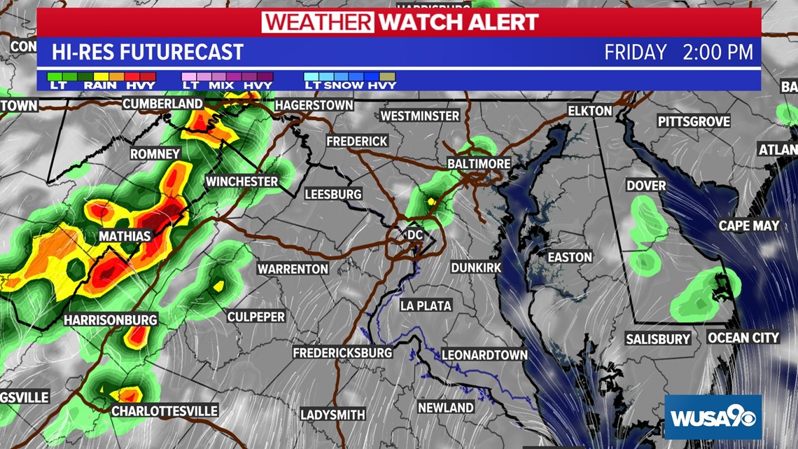
Noon - 3 p.m.:
Friday storms will begin forming around midday, with isolated storms through 3 p.m. Most of the storms will be across the Shenandoah Valley and parts of West Virginia. Expect just isolated storms in metro D.C.

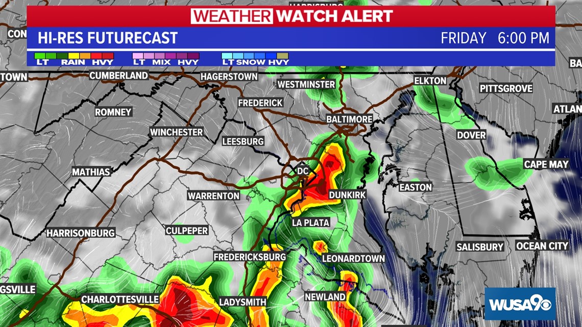
3 p.m. - 9 p.m.:
From 3 p.m. into this evening expect widespread showers and thunderstorms. This time will be greatest threat for storms with damaging winds. Downpours may also lead to isolated flooding across the region. Specifically in metro Washington, numerous storms will move through from around 5 to 9 p.m. The evening commute is likely to be a damp on for many in the metro.

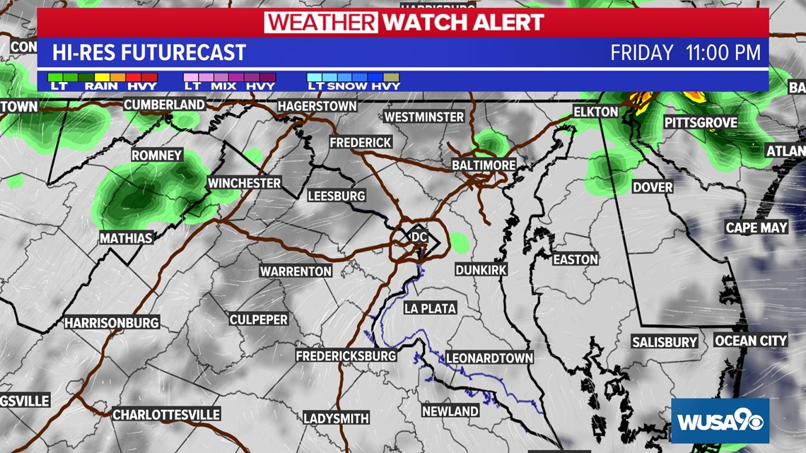
After 9 p.m.:
Showers and storms will continue, with a flood threat through midnight. Storms will ease around or just before midnight, with isolated showers through the overnight.


 English (United States) ·